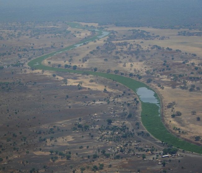
Our colleagues from HYDROC have successfully implemented real-time simulations of rainfall-runoff and streamflow in South Sudan waterways using Talsim-NG as a model. It uses near real-time precipitation data from the Global Forecasting System GFS and with 546 modeled river reaches with a total length of 2700 km, covers a large part of the Baro-Akobo-Sobat river system within South Sudan.
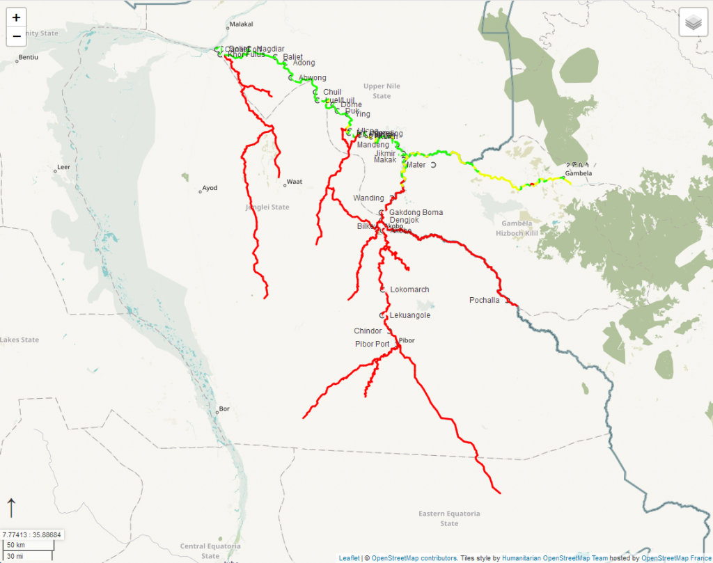
The model results are used to assess the navigability of the waterways for the World Food Programme, which uses the waterways to transport supplies to remote areas. The results of the navigability assessment can be viewed in near real-time here: https://basn.herokuapp.com.
Photo credit: Philipp Thumser, I AM HYDRO, HYDROC, 2019